
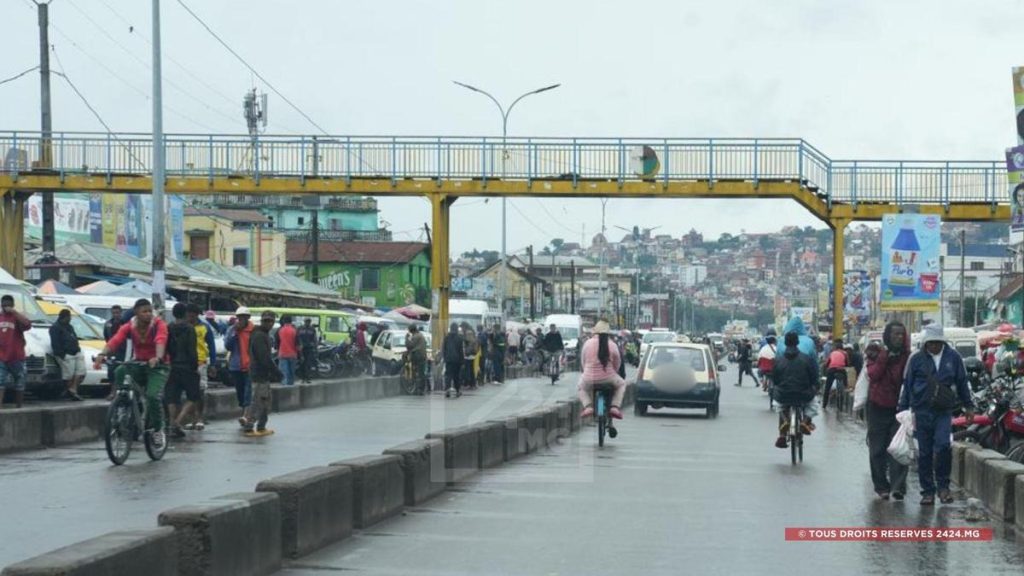
Unexpected rainfall during this winter period. Several localities on the Big Island have been surprised by rains since Thursday and throughout the weekend. According to meteorological services, these rains will continue until Tuesday across several regions. They are linked to a subtropical disturbance located south of the Mozambique Channel, explains a forecaster from the General Directorate of Meteorology. This disturbance, characterized by an area of low atmospheric pressure, is facilitating cloud formation over the eastern part of the Big Island and is the cause of the precipitation recorded in several regions since Thursday.
This Monday, rain is still expected across the Highlands as well as in the Alaotra-Mangoro region. It could locally become stormy in the east of Vakinankaratra, as well as in the Amoron’i Mania, Haute Matsiatra, Ihorombe, Vatovavy, Fitovinany, and Atsimo Atsinanana regions. On Tuesday morning, light rain is still forecast for the Analamanga region and across the Highlands. In the afternoon, precipitation is expected to gradually limit itself to the west of Analamanga in the form of localized showers.
“From Wednesday, the weather should become generally dry across the entire island. Temperatures will gradually rise starting from that day,” the forecaster indicates. However, the General Directorate of Meteorology reminds the public that Madagascar remains in the winter period, a cool season that is expected to continue until the end of September. Rainy episodes remain possible during this period.
Captured & Published at: 2026-08-17 20:08:42 (Madagascar Local Time EAT)
Original Source: https://2424.mg/meteorologie-les-pluies-liees-a-une-perturbation-subtropicale-se-poursuivront-jusqua-mardi-sur-la-grande-ile/?utm_source=rss&utm_medium=rss&utm_campaign=meteorologie-les-pluies-liees-a-une-perturbation-subtropicale-se-poursuivront-jusqua-mardi-sur-la-grande-ile