
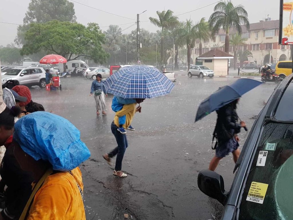
The moderate tropical storm Agueda is not expected to hit Madagascar. Yesterday, the system was positioned 770 km north-northeast of Antsiranana. It is generating average winds of 75 km/h, with gusts reaching up to 105 km/h. It continues its trajectory towards the west-southwest. According to the General Directorate of Meteorology, no direct landfall on the Great Island is expected.
However, this does not rule out any influence. Its cloud band could bring rain to the northern and northwestern regions by the end of the week, according to weather forecasts. A deterioration of maritime conditions is also expected. Fishermen and sailors are the first concerned, and caution is advised at sea.
In the Highlands, the atmosphere remains unstable, independent of the moderate tropical storm. Showers are expected today, followed by thundery showers on Friday and Saturday, particularly in Analamanga, according to the General Directorate of Meteorology. Furthermore, temperatures are expected to rise today and tomorrow, reaching up to 30°C in Analamanga.
The cyclone season is expected to be below average, with zero to two cyclones likely to affect the island. It is also expected to be rather dry, with high temperatures.
Captured & Published at: 2026-10-22 05:39:07 (Madagascar Local Time EAT)
Original Source: https://www.lexpress.mg/2026/10/meteo-la-bande-nuageuse-dagueda.html